This virus thing hasn't impacted me as much as most folks. I didn't lose my job because I didn't have one and I didn't get any extra money from the government because I didn't deserve it. It has kept my sorry ass home and because of that I have achieved a goal that has escaped me for years: Storing individual U.S. State and County geojson datasets converted from the Census TIGER/Line Shapefiles into a MySql Blob binary data type with a FIPS code key. Seriously, I've been chasing this one down for a long time...
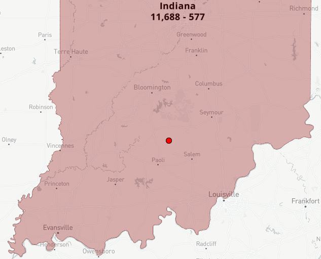
I've implemented them into the State and County Map polygons from my Covid Analysis app and the extra detail is significant.
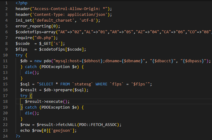
Here's the code to read a State polygon:
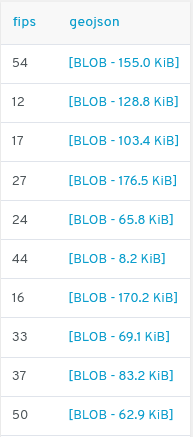
Here's how it's stored in the Database on my server: (54 = West Virginia, 12 = Florida)
Which results in detail like this: