I developed an app a while back called 4xmaps that nobody uses but me. It's great for plotting a destination and then getting four different views from the major mapping platforms.
Today's destination is a marina off Hwy 72 in Alabama where little Shoal Creek in my backyard becomes big and dumps into the Tennessee River.

Here's another app I wrote that nobody uses called OMJRoute that plots the 32 mile trip from my front door to the marina.
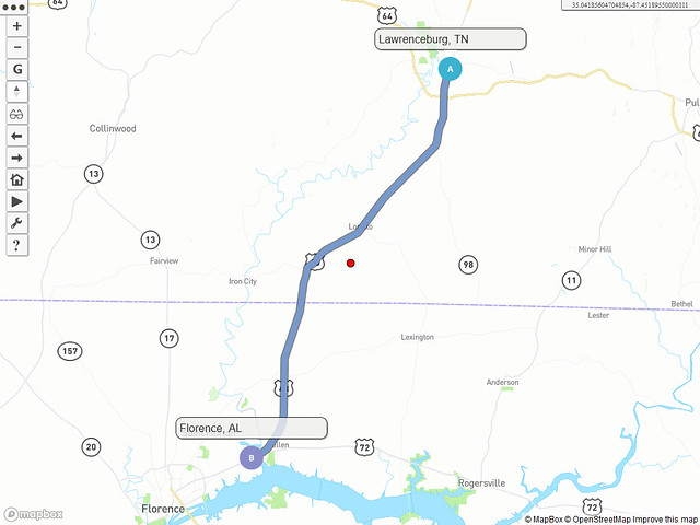
...and yes, that little blue line on the left is Shoal Creek.